
Trace a Medford Street by Address
A street-by-street search works best when each source is allowed to answer its own question. Medford's assessor record is a current tax and ownership lead. The mapped parcel fixes the physical location. A deed supplies the recorded transfer history. A historical directory can place a published household at an address for one edition. None of those records, alone or together, is a complete list of everyone at an address. Start with the address and a date range, then keep the source and date beside every result.
For a present-day Medford street directory search, work from the parcel outward rather than from a broad name search. That approach limits same-name mistakes and preserves the difference between a site address, a mailing destination, and a recorded legal description.
- Search the address in the Medford Assessor's VGSI property database. Record the site address, owner of record, mailing address, Vision ID, map or lot key, GIS ID, use, value, and any visible sale or book/page field.
- Open the same segment in AxisGIS Medford. Preserve the parcel boundary, adjacent parcel identifiers, street geometry, and any map label that differs from the tax address.
- For a selected parcel, use MassLandRecords for Middlesex South to find the property or party record. Narrow a wide street result by town, date, instrument, and legal description.
- Check the Medford Building Department route for past and present permits. Retain the address, date, work description, applicant or owner field when public, and status.
- For an earlier period, consult the Medford Public Library or Historical Society directory street section. Repeat across editions instead of treating one listing as continuous presence.
- Use voter material only through the lawful local-record channel. The individual state status form requires a name, birth date, and ZIP, so it is not a street browser.
The Massachusetts voter-status form illustrates why a name, date of birth, and ZIP are required rather than a street-wide query.
Use an individual result only within the form's access rules and keep it separate from the address trail built through Medford parcel records.
Note: A property owner, a permit applicant, and a historical directory entry are different kinds of evidence and should never be silently merged.
Search the Medford Street Directory in VGSI
The VGSI portal is the strongest current parcel starting point for a Medford address. Its FY2026 values reflect January 1, 2025 values based on actual 2024 sales. Owner-name searching is supported, while the live form is dynamic. Research confirmed the kinds of searches and card fields below, but not every label, required setting, dropdown, or advanced control. Treat a field marked dynamic as something to check in the live interface rather than as a fixed promise.
| VGSI field or mode | Input type | Requirement | Medford address use |
|---|---|---|---|
| Owner or business name | Text | Mode-dependent | Try surname, entity, initials, and spelling variants. |
| Location or street address | Text or select | Mode-dependent | Search the taxable situs, with number and street behavior checked live. |
| Parcel, account, or Vision ID | Text | Optional | Use the exact identifier from a parcel card or map result. |
| Map, lot, or MBLU | Text | Optional | Use as a parcel crosswalk when a street query is ambiguous. |
| ZIP or advanced criteria | Select or text if offered | Optional | A Medford control was not confirmed in the crawler. |
| Search, clear, and map controls | Buttons | Dynamic | Exact names, pagination, and result limits need live inspection. |
The card can show an owner or co-owner, a site location, a mailing address, values, tax-year context, sale information, building details, and several identifiers. It is a tax and valuation record. An own-occupancy or exemption flag is not a roster of people at the property, and an owner mailing address only shows where tax correspondence is sent.
See the Medford assessor search portal before beginning the address trail.
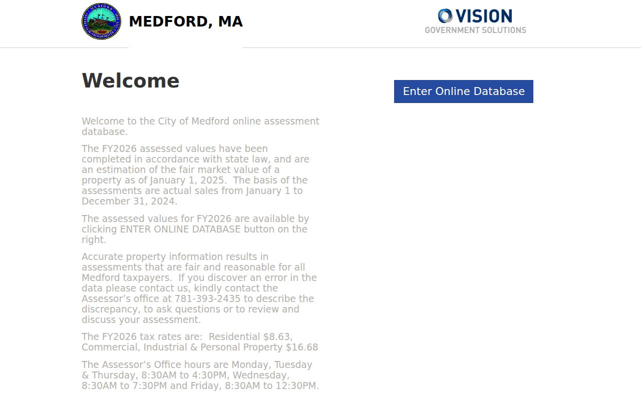
The assessor screen is a useful reminder to capture the parcel identifiers before moving to maps or recorded instruments.
Medford Street Directory Record Coverage
Address-keyed records overlap, but they do not prove the same thing. A parcel card is best for the current title and tax lead. A map is best for a street segment and adjoining geometry. Deeds are the ownership trail. Permits provide a dated construction or alteration context. The local public voter-file route and historic directory sections can add limited resident evidence under their own rules.
| Address record | Medford keeper | Key fields | Best role in the street trail |
|---|---|---|---|
| VGSI parcel card | Assessor / VGSI | Owner, situs, mailing, value, map and GIS keys | Current parcel and owner-of-record lead. |
| AxisGIS parcel map | City-linked GIS | Geometry, selected layers, adjacent parcels, map IDs | Street segment and parcel context. |
| Recorded deed or plan | Middlesex South Registry | Parties, date, instrument, book/page, legal description | Recorded ownership chain. |
| Citizenserve permit | Building Department | Location, work, applicant or owner when public, date/status | Permit chronology and address changes. |
| Local voter material | Elections Commission | Public name, address, party, status, and date fields | Registered-voter layer, subject to protections. |
| Street directory or report | Library / Historical Society | Published address, cross street, occupation, family notes | Earlier household and taxpayer clues. |
Medford's municipal system is split across the Assessor, Engineering/GIS, Building Department, Clerk, and Elections Commission. Middlesex South holds recorded land in Cambridge. A bare absence in any one source is not conclusive, especially where an older index, dynamic search form, or protected record limits the result.
Note: Save the custodian and record date with each street result, because identical addresses can appear differently across current and historical systems.
Map a Medford Address in AxisGIS
AxisGIS Medford supplies the geographic layer that a property card cannot. Locate the target parcel, zoom to the street segment, and compare neighboring parcel boundaries with the displayed street label. Copy the mapped identifier and use it with the address or parcel information in VGSI. If a map label and tax address differ, retain both instead of selecting one without a source note.
The crawler did not expose AxisGIS's stable search labels, popup fields, layer names, or print and export controls. Its live controls should be inspected before asserting that a particular search, adjacent-parcel, measurement, layer, or export option is available. Parcel adjacency also does not establish a shared household or a relationship between people.
Open the Medford AxisGIS parcel viewer to place a tax record on its mapped street segment.
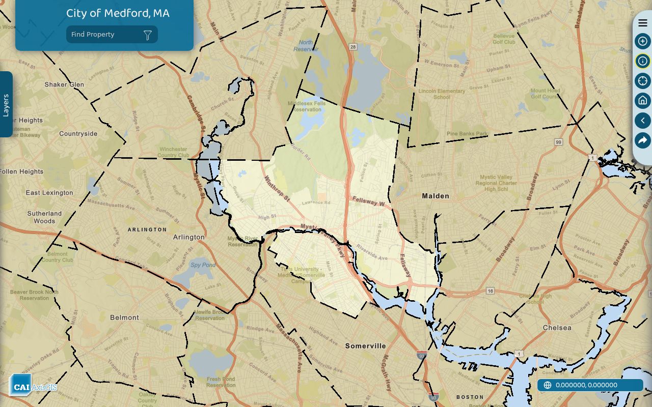
The parcel-viewer image illustrates why a map ID and parcel outline should be saved alongside the address used in the street directory search.
Link a Medford Address to Deeds
Once an address is tied to a parcel, the Middlesex South Registry of Deeds index can move the search from a current owner to recorded transfers. The portal offers recorded-land name, document, book, property, and recorded-date searches, plus an unindexed property route for Books 1 through 1024. It also has registered-land and plan search modes. Search results can be narrowed by party, town, date, and document criteria because broad searches may return only the first 1,000 rows.
A legal description is the description of land in an instrument, such as a lot on a plan, metes and bounds, or a condominium unit. It may survive a changed street reference better than an address. A grantor is the party transferring an interest; a grantee is the party receiving it. Record the instrument type, recorded date, book/page or document number, plan reference, parties, and legal description for each link.
- Copy the current owner and the map, lot, Vision ID, or legal-description lead from VGSI.
- Search MassLandRecords by property when possible. Otherwise use the party name, town set to Medford, a narrow date range, and a confirmed instrument type.
- Open the purchase instrument and save its grantor, grantee, date, book/page or document number, and plan or legal-description reference.
- Search the prior grantor as a grantee to find the preceding acquisition. Use the plan or lot reference when a street address fails.
If the online path stops, use the unindexed Books 1 through 1024 route or ask the Registry counter for old-book and image assistance. Grantor indices for 1896 through 1973 are noted online, but the portal does not publish a simple full-series start year. A missing web result therefore is not proof that no recorded document exists.
Note: Registry document viewing and downloading are described as currently free, but portal behavior and image access should be checked at the time of search.
Medford Address: Situs and Mailing
Street records use several address concepts. The tax situs is the physical parcel in Medford. An owner mailing address is the destination for tax correspondence and can belong to a business, trust, manager, attorney, or an owner elsewhere. A deed may show a party address or no modern street number at all. A permit can identify an applicant. Compare the label, the source, and the date before treating any address as proof of residence.
- Situs address
- The parcel location used by the assessor, GIS, and permit systems.
- Owner mailing address
- The tax-correspondence destination, not evidence that the owner is physically present there.
- Map or GIS ID
- A parcel crosswalk used by mapping and assessment systems; copy punctuation and leading zeros exactly.
- Legal description
- A deed-defined lot, plan, metes-and-bounds, or unit description that can bridge address changes.
- Criss-cross directory
- A historical directory section organized by street, often linking a published address back to a name.
The MassGIS parcel schema makes the distinction clear with site fields such as SITE_ADDR, LOCATION, CITY, and ZIP, alongside owner-mailing fields such as OWN_ADDR, OWN_CITY, OWN_STATE, OWN_ZIP, and OWN_CO. That statewide schema is a normalization aid, not a promise that every field appears in Medford's live portal.
Medford Street Permit Chronology
Address searches can include more than tax and deed records. The Medford Building Department identifies Citizenserve for searching past and present permits. The city names Building, Plumbing and Gas, Electrical, Sheet Metal or Mechanical, and Periodic Inspections as permit or inspection categories. Capture the public result's location, permit type, date, status, described work, and any inspection or certificate link.
A permit applicant or owner field does not establish who occupied a parcel. The live search fields and the old-record cutoff were not confirmed, so a city records request or counter search remains the fallback when Citizenserve does not locate an older address.
Read Historical Medford Street Listings
For earlier street directory work, the Medford Public Library local-history collection and the Medford Historical Society directory holdings provide the local route. The library reports city directories and voter lists from 1869 to the present, while the Historical Society identifies selected directory examples including 1870, 1885, 1890, 1893, 1895, 1895-96, 1902, 1916, 1918, and 1920. Exact availability varies by year and location.
The 1870-71 Greenough directory has an alphabetical resident section and a street section. Read its notation carefully: h. can indicate house, boards can describe a boarding arrangement, and near, opposite, corner descriptions, widow notation, and West Medford abbreviations can distinguish two similar entries. Street sections include clues such as cross streets, which are often more useful than a modern ZIP for placing an old address.
Annual reports and poll-tax material add an older taxpayer layer. Medford's municipal-record collection begins with town and city reports in 1838, and detailed property information is identified for 1875, 1880, 1885, and 1890. Poll-tax lists appear after the city transition in 1892, with female residents included from 1921. They are assessment material, not proof of a ballot cast.
Medford Address Continuity Before ZIPs
Medford's street grid needs historical checking. Engineering/GIS maintains a public-road and private-way Street List, assessor-map links, and a precinct map. Use the City Engineering resources, dated maps, directory street sections, deeds, and parcel geometry to resolve an old reference. The Historical Society records that Medford accepted 156 streets totaling 51.5 miles by 1905, after railroad and streetcar growth changed how addresses were described.
No official source verified a citywide street-renumbering year. Do not assume that an unfamiliar historical name was renumbered or renamed. Riverside Avenue appears in historical shipbuilding material, but its relation to any current street must be proved with a dated map, the Engineering Street List, recorded land description, and current GIS parcel. A pre-ZIP listing also cannot be mechanically assigned a modern ZIP.
The Spring 2021 launch of the Historical Society's municipal-records project made more than 100 books searchable as PDFs. Search by street, cross street, occupation, or neighborhood clue, then inspect the page image because OCR can misread old type and handwritten material.
Note: Preserve the historical address exactly before normalizing it against a current map or parcel record.
Limits of the Medford Street Directory
A Medford street directory cannot identify every person who may be present at an address. Public property tools show ownership and parcel information, not a complete household roll. Private customer information, delivery records, and motor-vehicle address data are not public city address layers. A person listed as an owner, permit applicant, or historical directory entry should not be treated as a current resident without matching evidence and dates.
Voter information has deliberate limits as well. The state self-status form requires first name, last name, birth date, ZIP, and an agreement checkbox. It is not a name-only public directory. A local public voter file may contain permitted fields such as name, address, party, status, and certain dates, while telephone, email, veteran, permanent-absentee, minor, and confidential-voter information are excluded. Address Confidentiality Program participants and some protected voters can have substitute or suppressed address treatment.
Lawful personal use. Use Medford address records for legitimate personal research, property history, family history, or civic reference. Do not use records to stalk, harass, intimidate, or harm anyone, and respect every protected or suppressed result.
When a record is missing, use the custodian that holds it rather than attempting to reconstruct private data. The Massachusetts Public Records Law, M.G.L. c.66 and 950 CMR 32.00 provides the request framework, and Medford's public-records request guidance gives the city route for responsive municipal records.